Click on the pictures for larger view..... the color of the border lets you know if you have seen the photos already or not.


Your key to these photos:
LEAVING BRIDGETOWN - HEADING FOR ST PHILIP:
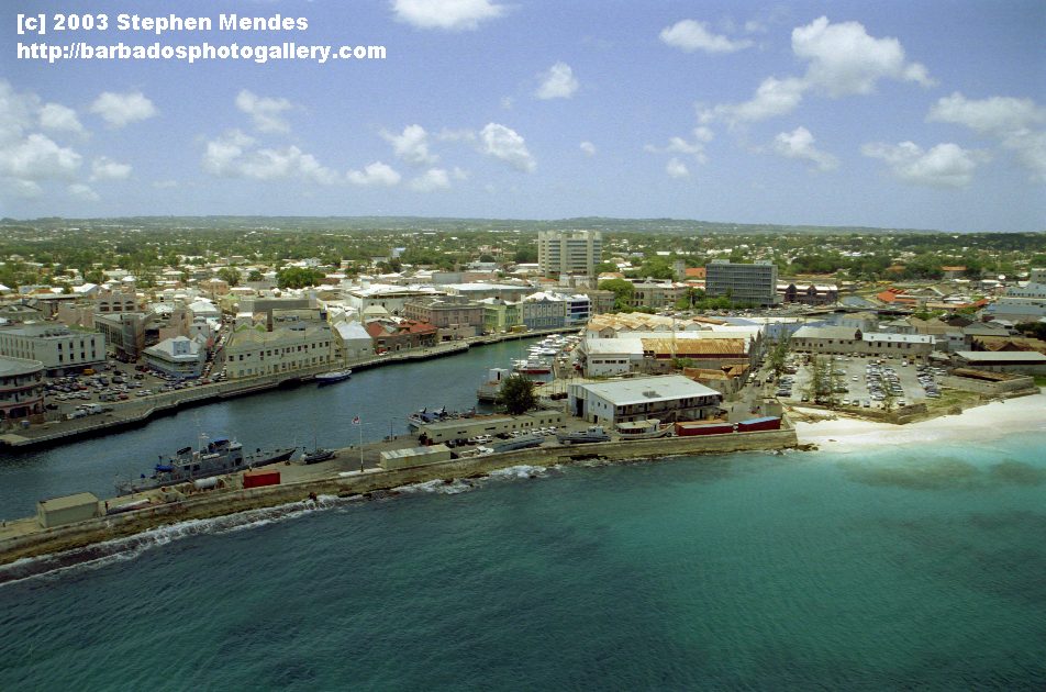
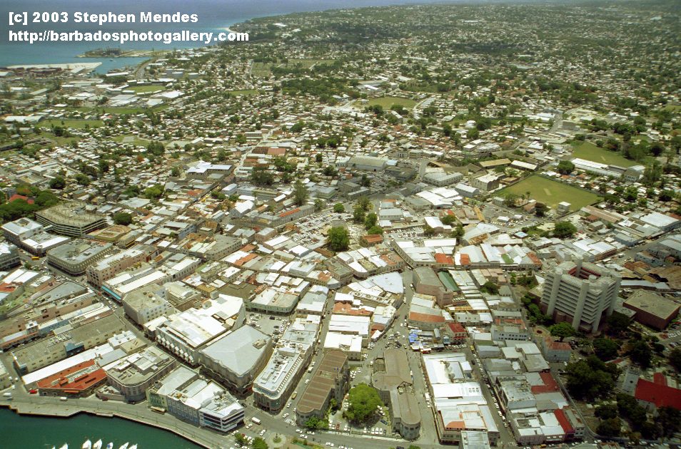
#1 and #2 - Bridgetown - Central Bank visible
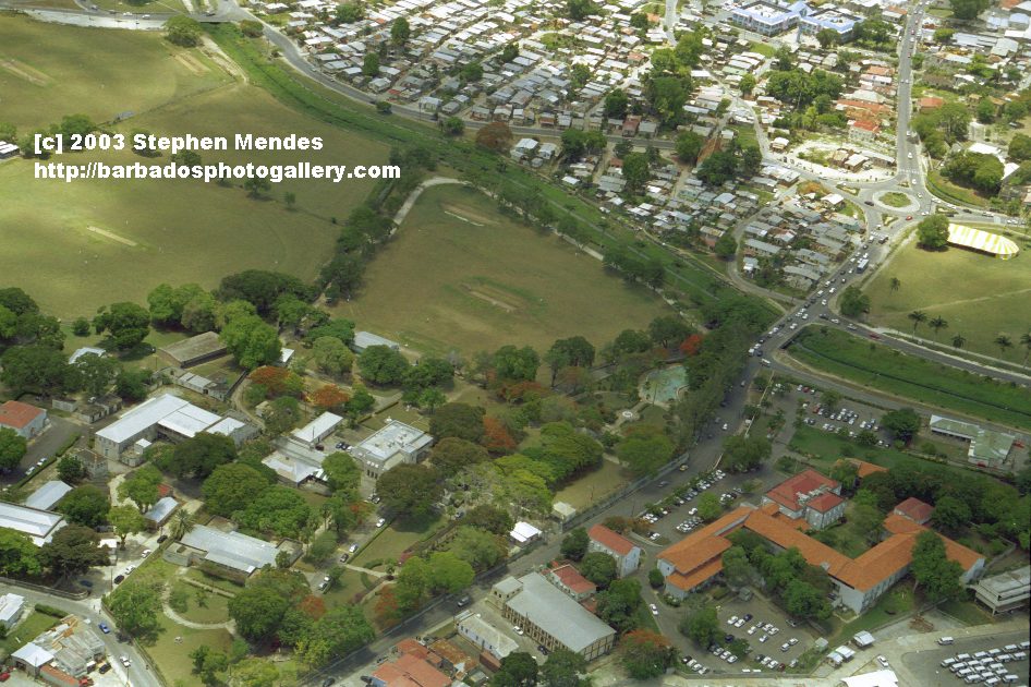
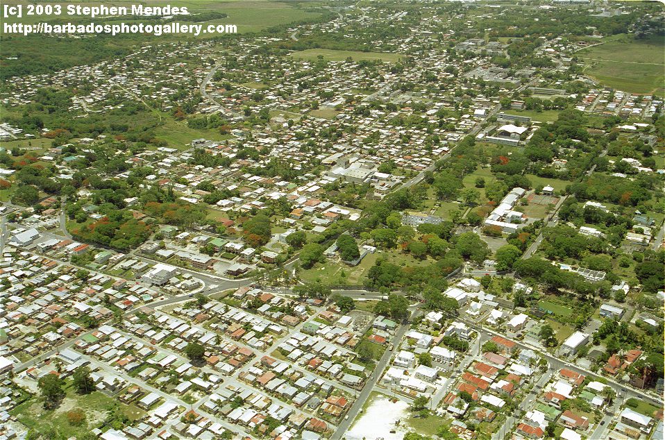
#3 Carrington Village and Queens Park
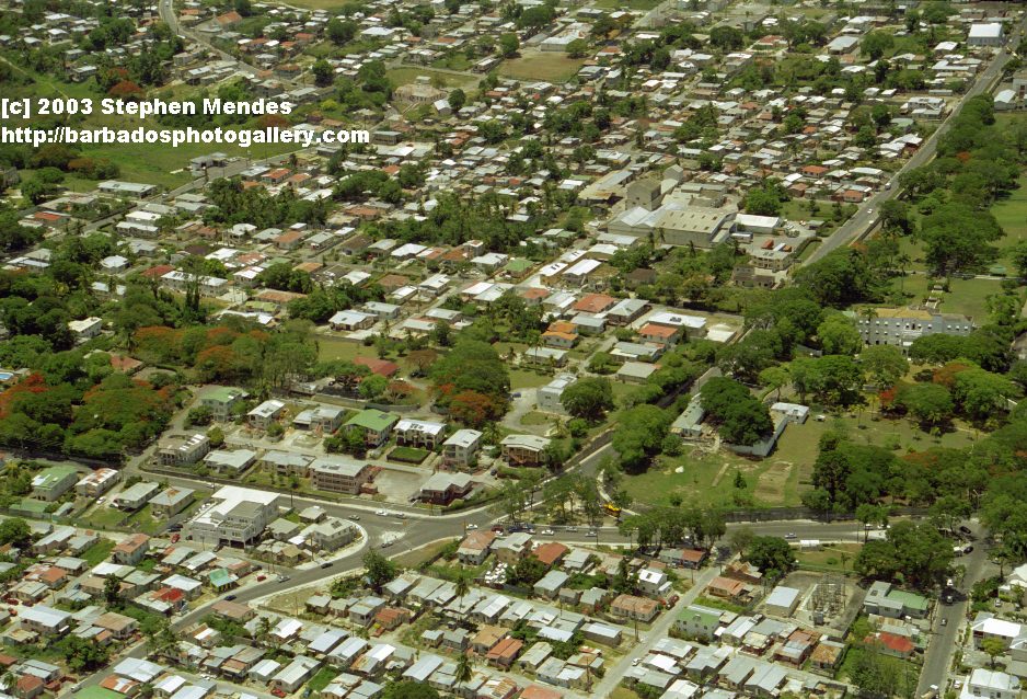
#4 Welches with Government House on far right
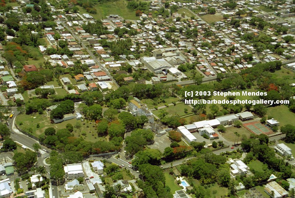
#5 and #6 views of Government House and St. Winifreds school
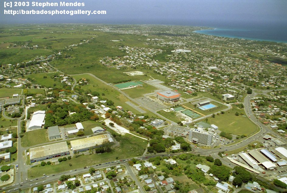
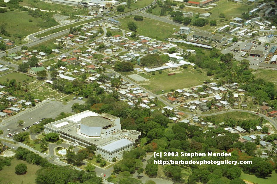
#7 and #8 Ilaro Court, Sherbourne Conference Center and Julien Haggatt Hall, MTW lower right corner of #8
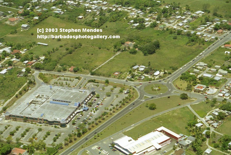
#9 the Gymnasium, Barbados Aquatic Center and Cable and Wireless, Wildey, Courtesy Garage lower right
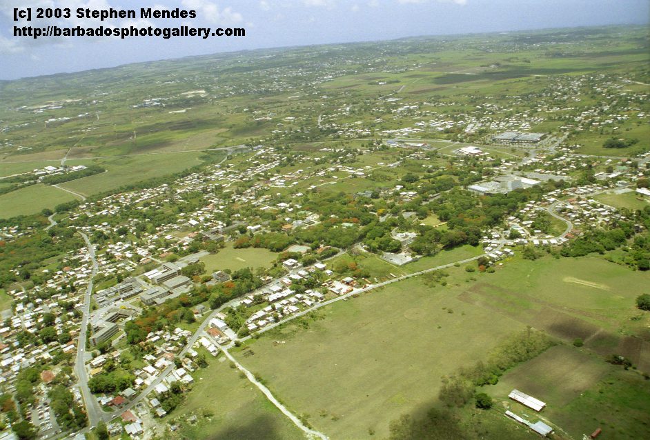
#10 Fort George Heights
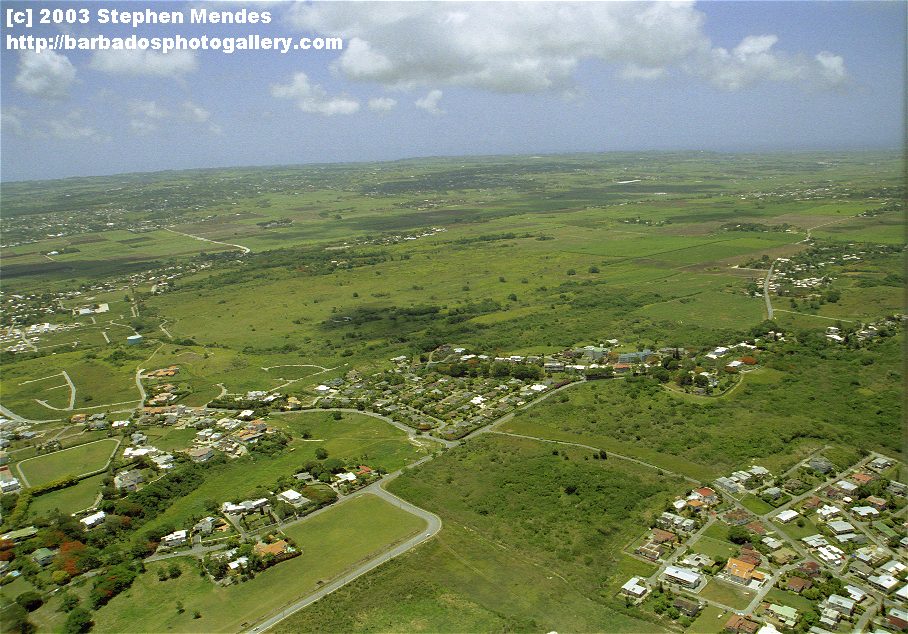
#11Kent
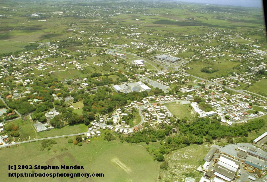
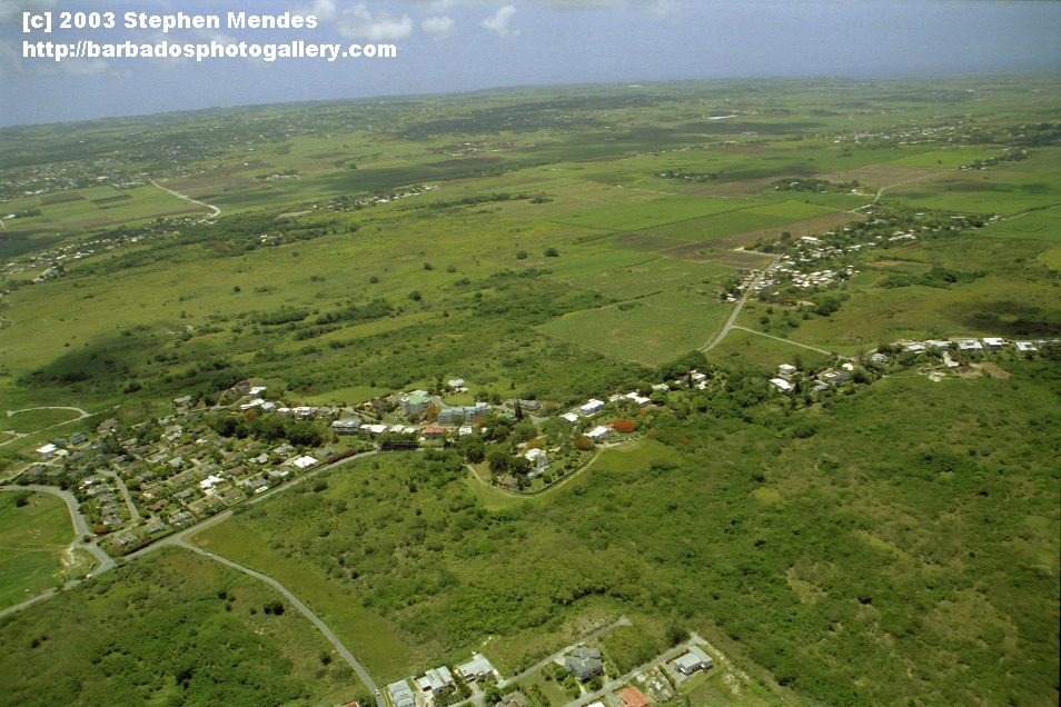
#12 St. Davids Church (center) and Staple Grove (right)
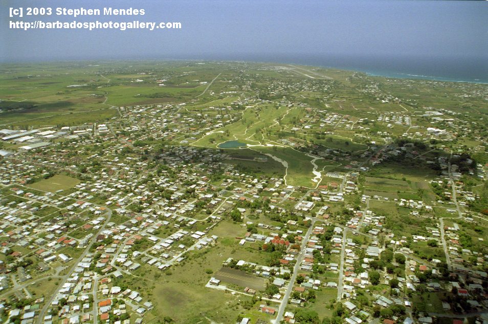
#13 Durants Golf Course in the center, Airport runway to the top right
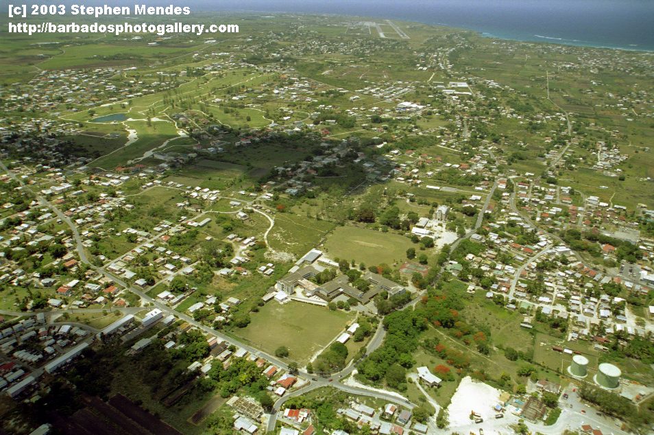
#14 Foundation School and Oistins Hill lower right corner
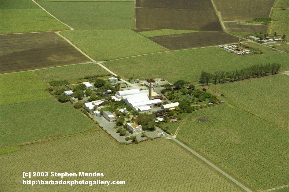
#15 and #16 Four Square Rum Factory and Heritage Park
THE RETURN TRIP BACK TO BRIDGETOWN:
#17 and #18
#19, #20 and #21 Julien Haggatt Hall (from the other side) and Bussa roundabout
#22 Sherbourne Conference Center bottom left, Pine Hill Dairy and Parkinson School top, Water Authority and MTW top right